[?]Subscribete a esta paginas web
|
Mt Mcloughlin Trail pictures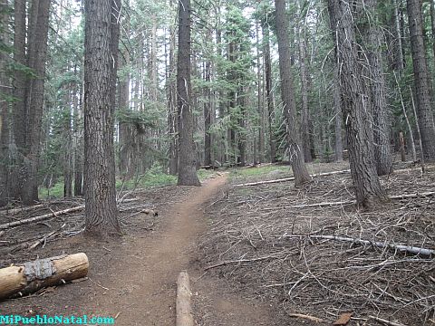 View of the trail just after the creek Mt Mcloughlin Trail pictures | Mount Mcloughlin | Page 1 | Page 2 | Page 3 | Page 4 | Page 5 | Page 6 | Page 7 | Page 8 | Here are some pictures of the trail and the vegetation. There are lots of them and I hope you enjoy them. 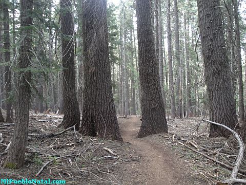 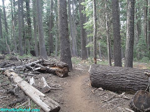 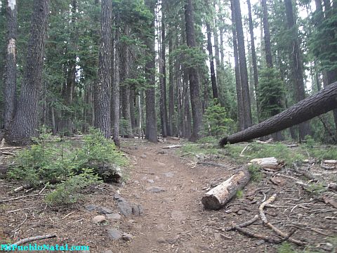 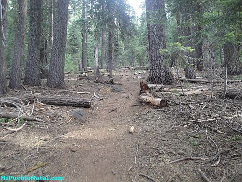 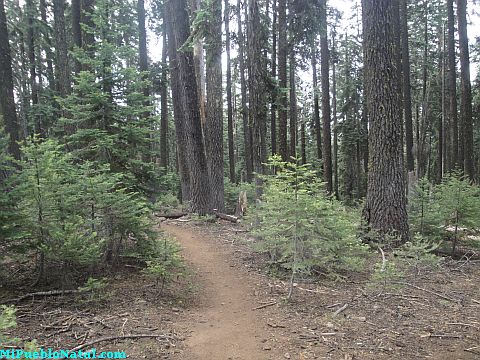 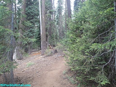 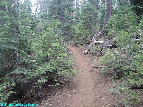 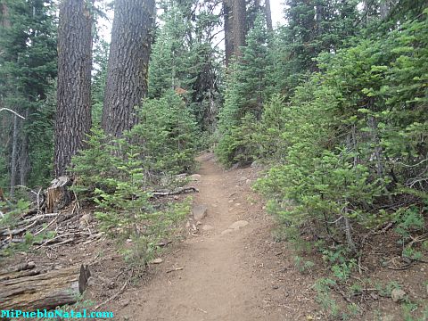 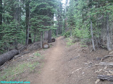 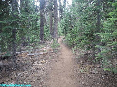 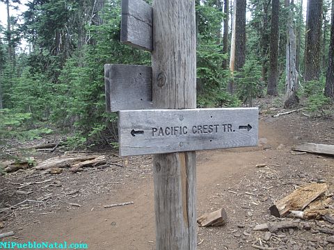 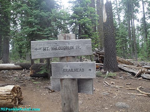 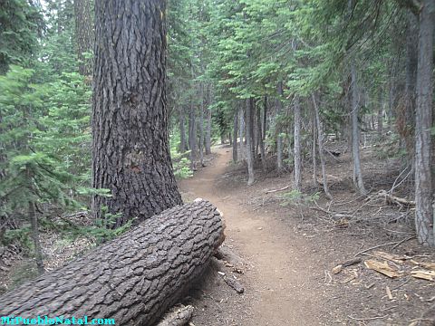 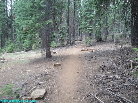 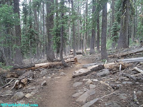 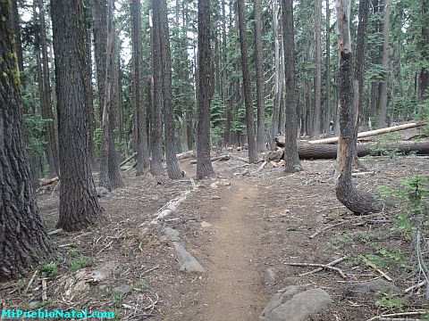 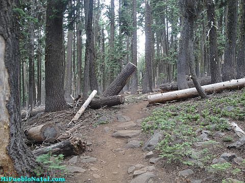 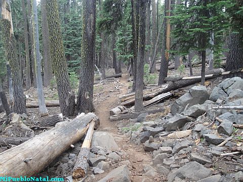 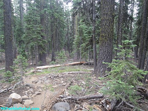 | Mount Mcloughlin | Page 1 | Page 2 | Page 3 | Page 4 | Page 5 | Page 6 | Page 7 | Page 8 | Remember to take mosquito repellent, enough fluids, food, and some Dollar bills. I paid $5 for parking last year (2010) but the price could have changed. Just be prepared. Please leave your comments: Other special words used to help you find this pare are Mt Mcloughlin, and Mt Mcloughlin pictures. Return to Mount Mcloughlin Return from Mt Mcloughlin Trail pictures to Medford Oregon |


